85 miles on the Suwannee
A week of springs, smiles, fun, and a lot of memories.
A week of springs, smiles, fun, and a lot of memories.
Prologue
During a family reunion to a resort near Mayo, FL, we decided to take our recently acquired kayaks on a 6 mile portion of the Suwannee River. We started at the bridge on [route 51] and pulled out at Suwannee River Rendezvous (SRR) which was where we were staying at. One of the stops on the river that caught our eye was Peacock Slough River Camp which was part of the Suwannee River Wilderness Trail. That inspired the much longer trip that follows.
There were a total of 7 people on this trip: my brother Shawn and his wife Debi, a family friend Casey, and my family. My wife Maria, was joined by our daughters Angelia (13) and Savannah(11). Oh, my name is Ken. My family traveled in Hobie Kayaks with the Mirage drive pedals while Shawn and Debi traveled in a canoe together. Casey was solo in his canoe as well.
The trip was planned from Stephen Foster State Park In White Springs, Florida to Branford, Florida. We stopped 6 miles short of Branford at the advice of our transportation outfitter at SRR.
Planning and research was done by us. Lots of phone calls, reading various blogs and watching Youtube clips. Please see Sources for our reference materials.
I had plans to film the entire way down the river via a Gopro (version 4 black edition) mounted to the front of my kayak. I would combine that footage with a selfie stick mounted Gopro (version 1) and three Fuji film underwater cameras. The problem is storage of the video/pictures. I would have needed about 20-64 gb cards for just the main GP camera and that didn't make financial sense since this amount of video would, more than likely, be a one time thing. I ended up settling on an 2 TB external mil spec hard drive connected to my 10 year old laptop computer. I would download video and pictures every night to the hard drive. The kayak mounted Gopro was connected to a 12v battery that had another use as well.
I have listed the water levels for each day. This may help others while planning their trip. Here is a link to where the water levels can be found and another that gives general explanations of what they mean for paddling. Note that all numbers refer to the water level above sea level in feet. In general, the water was between 4 - 6 feet except where there were some shoals.
Due to the length and potential for hazards on the trip, there were several things that I wanted to practice with the family before we left. More paddling time would be ideal. The Hobie kayaks are difficult to paddle due to no keel. Furthermore, the Outback versions are wide and tank like when it comes to steering with a paddle. Removal and putting back in the Mirage drive from within the kayak was another. This would be helpful if there were any on water repairs needed or obstacles in the water. Getting back into a capsized kayak was another one. This is already a difficult task but we are not in optimal condition (read: overweight). This was my biggest concern but I knew we had plenty of people in our group and the shoreline was generally a reasonable distance. Given time constraints, and the terrible weather we had the last 3 weeks before the trip, we were not able to practice any of these. Oh well, hopefully this wouldn't come up later.
Please note, as you have already noticed, I am very wordy but I hope that our trip will help many others on future trips. Get a strong cup of coffee and enjoy our trip. There will also be a video version of this as well....sometime soon. Also, in order to help with those that may use this blog as a reference for their trip, I am going to produce a separate, more condensed version on this blog with more technical information on it that may not be included in here.
Day 1 - Early to Rise, and on with Our Journey
All the planning comes down to this
Stephen Foster Culture Center State Park (SFCCSP) to Woods Ferry River Camp (WFRC)
This portion of the river is very curvy with a lot of visual interests


[1.1] In the Beginning....
We are starting out the trip at Stephen Foster State Park. There a boat ramp that that we used. A nice side bar is that this same "road" we go down to the ramp, is part of the Florida Trail (FT). The same one that we had been backpacking on other editions of this blog. Also, the first two river camps that we were to stay at were also on the Florida Trail as well. This is because the FT parallels a lot of the river for the first couple days our our trip. Pretty cool seeing the familiar to us orange blaze of the FT at various spots from the river.
 |
| Savannah, Angelia, and Ken packing kayaks |
 |
| Savannah showing that she is a shutterbug like her mom |
This state park is gorgeous. The grounds are really nice. There is also a carillon (bell tower) that plays songs from Stephen Foster every 15 minutes. Loved that. We tent camped here on Friday night, leaving the tent in one of the vehicles. Dinner was supposed to be salmon from Shawn and steak from us. Well, I forgot to thaw out the steak but we managed. The salmon was fantastic too.
They were also setting up Christmas lights. It seems early but it is because they have a display of 5.5 million lights! We are hoping to stop by here in December to check these out!
Too Much Stuff
I knew 8 nights on the river would be a challenge regarding gear. I figured my backpacking experience would help but the unknown factor was my family. They don't backpack but LOVE camping. From a car. And in a large tent or pop-up camper. With 13 and 11 year old kids, their comfort over my convenience was more of a concern so I let them bring some additional items that, in the overall scheme of things, didn't add much. Clothes and toiletries on the other hand was an interesting dilemma though.
On top of that, there was a lot of food. I mean, A LOT. Two coolers (one 5 day, one electric) added more weight but thankfully the electric cooler when into one of the canoes. Lets just say that coolers will never be in my plans again even if there is electricity and/or ice available at each stop! I wasn't sure how much food they would actually eat but I knew they would be hungry and I didn't want them to starve. Add in a bunch of snacks, and extra dehydrated foods, and you are starting to get the picture.
I also had a dry bag with all of the electronics in it which was bulky and heavy (don't forget my old laptop computer as well). Also there was an extension cord and plug strip. Insane how much I had in that bag (charger for fishfinder, charger for the 12v GP camera, GP battery charger for the regular batteries, 2 different battery chargers for the cameras, phone charger, charger for the V1 GP, etc). Lets just say that others in our group didn't like to volunteer to carry that bag. My clothing was very minimal. 2 sets of shirts, shorts, underwear, socks. One lightweight long pants and hoodie. Flops, water shoes, and sneakers. Never used the socks, sneakers, pants, and hoodie.
Rough Start
After finally getting started, I was the last one out but something didn't seem right. After looking around I noticed my phone wan't around my neck in its waterproof container. After catching up with Maria, I inquired about the phone but she didn't have it. I must have left it at the ramp! Uggh. So, I turned around and went upstream to the ramp. Yes, that was fun and not the ideal way to start a long trip. Those legs were definitely burning. Yes, my legs. I have a peddle drive kayak so it made the salmon portion of this trip, easier. It must have taken 15 minutes to get to the ramp. I looked everywhere but I didn't see the phone. I headed back downstream and caught up with the group who had pulled over to wait for me. After telling them of my bad news, I made a comment of that it is probably in my center hatch (which is right between my legs). I opened up the hatch and viola! There it is. Uggh, all that work and time for nothing but a funny story.
Not far in, we had our first mechanical challenge, one of the Hobie drives broke. Angelia had mentioned that something didn't feel right on it. After stopping, I was able to see that a pin had come out. The same one that I put in at the start of the trip at the boat ramp. Oh well, I had spare parts. Later on, same thing happened and I determined that we had a bigger issue where a part that held the pin was had it's hole enlarged enough that the pin would not stay. Well, I figured we were almost to camp at that point and would wait. Later that night I fixed it with some zip ties.
 |
| Angelia at the start and smiling. Wonder how long that will last? |
 |
| Savannah smiling but for how long? |
 |
| Debi and Shawn |
 |
| Casey |
 |
| Maria steps from behind the camera |
 |
| Ken (author of this blog) celebrating becoming a professional kayaker? Not not really. |
The group came to one of the first places to explore but it didn't look to be much. Casey decided to go explore and was back within 5 minutes. See his blog for more information.
 |
| Casey exploring Blue Sink |
There was a creek that seemed just ready to explore. The water was clear and showed promise of having a spring near by. Shawn and Debi went up it along with Casey. They quickly realized that the water coming down the creek was moving very fast. Fast enough that Shawn kept getting thrown off course and steered towards the rocks. They abandoned going up the creek due to caution. Later on, we realized they were trying to go up the aptly named Swift Creek. This creek is actually quite long in length so we are not sure how far we would have been able to go up it anyways.
 |
Rope swing at Swift Creek
|
[1.4] I-75 from Below
Our first bridge that we got to go under was i-75. We could hear it from a distance but it seemed to take a long time to get to it. Once there, I was surprised how tall it was. With the potential for flooding of the river, it made sense though. Another thing that was noticed was that there was debris stuck in the support structure of the bridge. Not just little branches but significant parts of trees. These had to be 20 feet up.
[1.5] River Camp: Woods Ferry River Camp (WFRC)
 |
| Where we are at, where have been, and where we are going. |
After about 10 miles of paddling, with several breaks, we arrived at Woods Ferry River Camp. A Boy Scout group was already there taking up 3 of the 5 shelters. The shelters are about 12'x12' with hard wire mesh over screen. The screen keeps the bugs out, the mesh keeps the other animals from going through the screen. Each shelter has a light/ceiling fan combination, two integrated tables (one in handicapped shelters), and two electrical plugs. A nice feature is that there is a wood rail "shelf" to put misc items on. There are also misc eyelets and hooks to hang hammocks or clothes from as well.
 |
| Part of ramp to camp |
 |
| Part of ramp to camp |
 |
| Parking lot full, we let them float with an additional line |
The Boy Scout troop was an interesting sight. They were not carrying any gear in the boats that I could notice. Then again, I was going upstream looking for my phone. At camp, I noticed a trailer pulling up with all of their gear. Now, imagine my surprise what they had for an overnight trip. Cots and huge duffle bags full of who knows what, Their cooking equipment was impressive with deep fryers for french fries (heard one person say that they were donated to them) and multiple coolers. It seemed that there were a lot in the group that had never been camping. Even with that, my Boy Scout leaders would have killed us if we brought that much gear for a one or two night trip.
 |
| Shawn "shopping" for gear |
There was also another group there as well. They were hanging out in the picnic shelter area when we came in. They were on an extended break and still had 10 miles to go that day. It was already late (4 or so) so they would be pulling into Spirit of the Suwannee Music Park late, possibly at dark. They were very experienced kayakers (not sure if they were professionals though, see below). They had been paddling the Suwannee River in sections on weekends. Weeks earlier, they started at Fargo, GA where the river starts and paddle some each weekend or so. That was the same thing we were doing with the FT. Pretty cool.
Dinner was the steak that had thawed during the day. Surprisingly, there were some leftovers (mostly from me) and I saved those to use another day.
Misc Pictures:
Misc Pictures:
 |
| Angelia with limestone shoreline in background |
 |
| Savannah with limestone shoreline in background |
 |
| Debi and Shawn showing how they battle headwinds. |
|
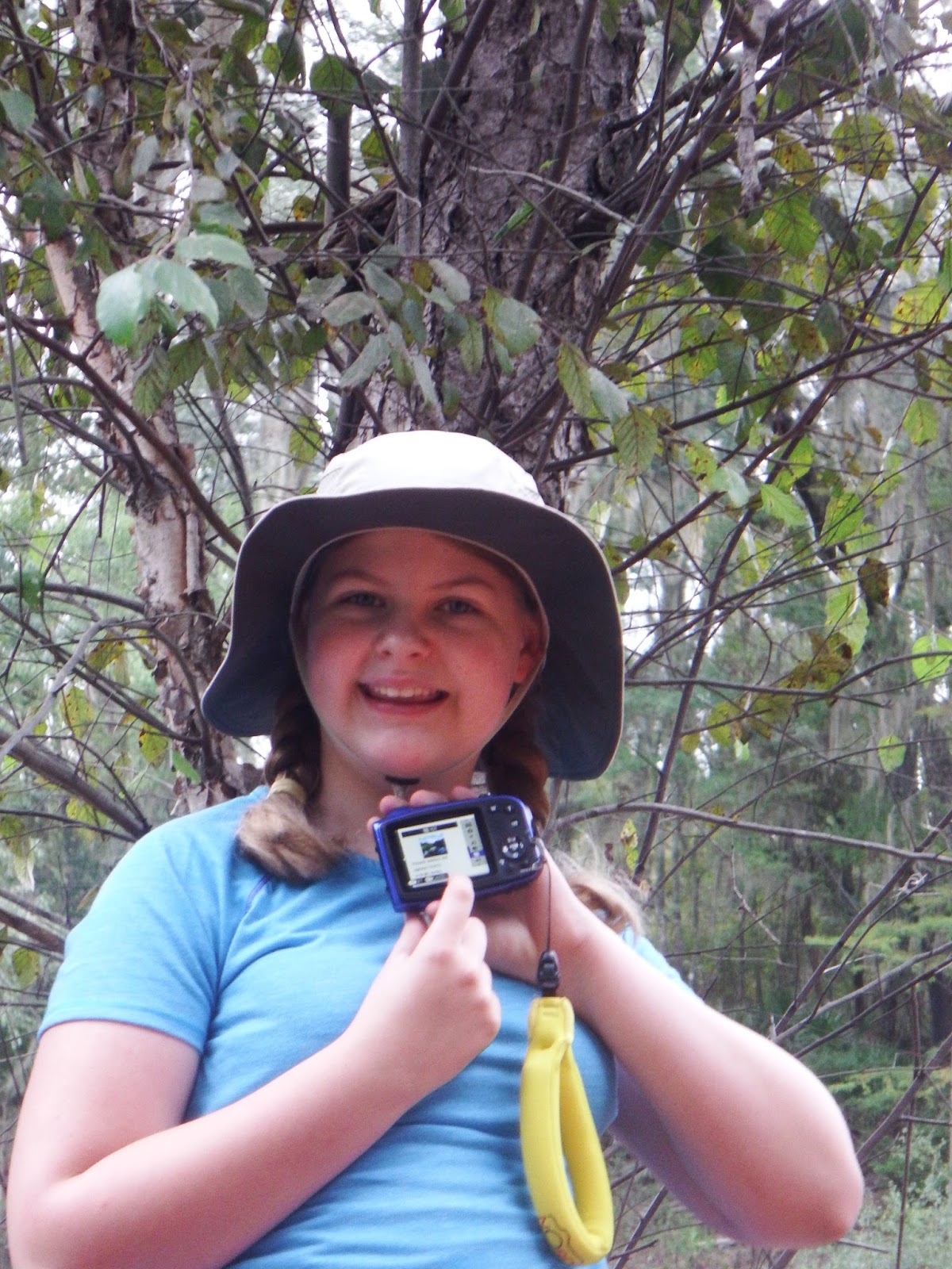
| Angelia and a interesting tree behind her. So, the question remains: who photobombed who? |


 |
| Savannah at break |
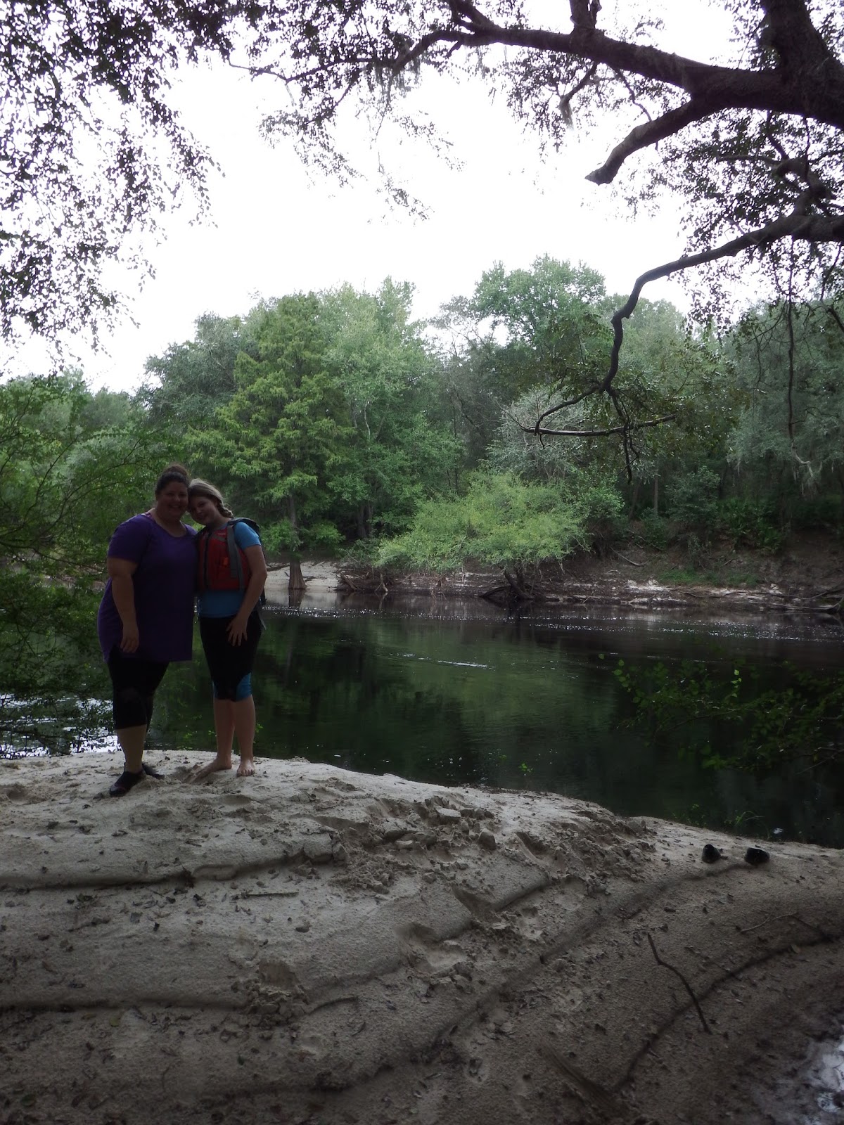 |
| Maria and Savannah |
 |
| Ken adjusting his gear fixed. This would be a re-occurring theme. |
 |
| Boats, boats everywhere |
 |
| Savannah playing during a break |
 |
| Angelia during a break |
 |
| Maria getting her break...from the camera |


No comments:
Post a Comment